-
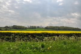
View south from the A153 - West Willoughby
-
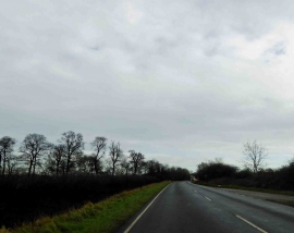
A153 Sleaford road
View south from the A153 - West Willoughby
A153 Sleaford road
Location and coordinates are for the approximate centre of Roger's Plantation within this administrative area. Geographic features and populated places may cross administrative borders.