-
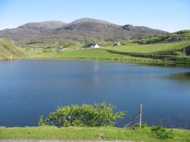
Freshwater loch in Rodel
-
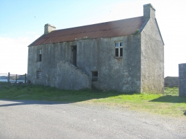
Barn at Rodel/Roghadal
Freshwater loch in Rodel
Barn at Rodel/Roghadal
Other current and historical names
Location and coordinates are for the approximate centre of Rodel within this administrative area. Geographic features and populated places may cross administrative borders.