-
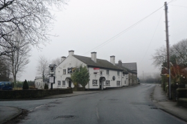
The Fox - Roby Mill
-
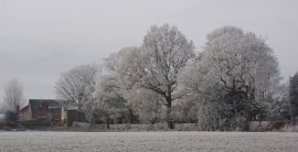
Trees or cake decorations?
The Fox - Roby Mill
Trees or cake decorations?
Other current and historical names
Location and coordinates are for the approximate centre of Roby Mill within this administrative area. Geographic features and populated places may cross administrative borders.