-
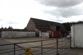
Old farm buildings near Swallows Cross
-
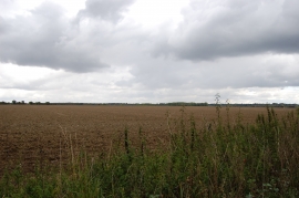
Field off Thoby Lane, near Mountnessing
-
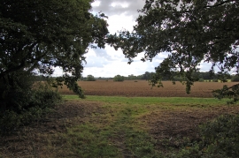
Fields near Wyatts Green
-
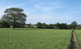
Public footpath and tree in wheat field near Mill House Farm, Hook End
-
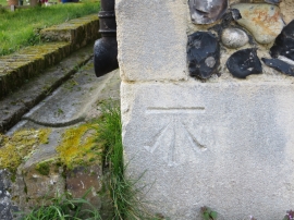
Ordnance Survey Cut Mark
-
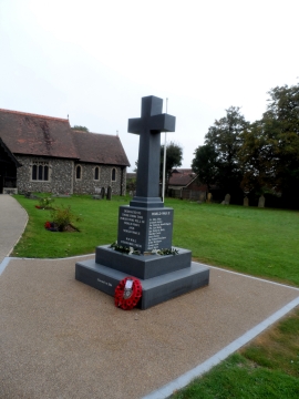
Modern War Memorial, All Saints' Church Doddinghurst
-
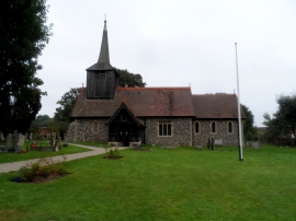
All Saints' Doddinghurst
-
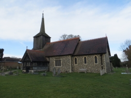
All Saints Church at Doddinghurst
-
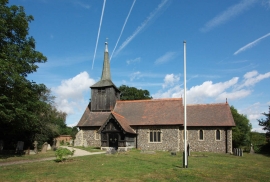
All Saints, Doddinghurst
-
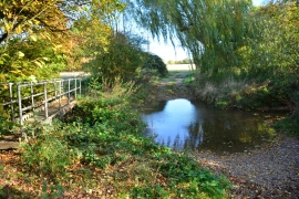
Ford at Fitzwalters