-

Willen North Lake
-
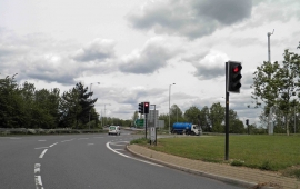
Northfield roundabout near Junction 14 M1 motorway
Willen North Lake
Northfield roundabout near Junction 14 M1 motorway
Location and coordinates are for the approximate centre of River Ouzel or River Lovat within this administrative area. Geographic features and populated places may cross administrative borders.