-
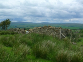
Ruined barn west of River Belah
-
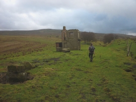
Ruined signal box by the Belah Viaduct
Ruined barn west of River Belah
Ruined signal box by the Belah Viaduct
Location and coordinates are for the approximate centre of River Belah within this administrative area. Geographic features and populated places may cross administrative borders.