-
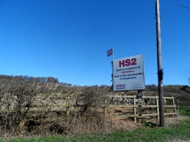
Anti-HS2 hoarding, Rignall Road
-
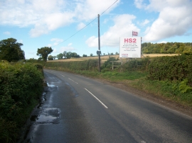
Rignall Road
Anti-HS2 hoarding, Rignall Road
Rignall Road
Location and coordinates are for the approximate centre of Rignall Wood within this administrative area. Geographic features and populated places may cross administrative borders.