-
A272 West
-
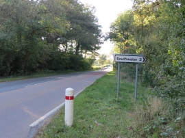
Looking north on Shipley Road from layby
A272 West
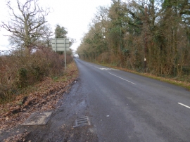
Looking north on Shipley Road from layby
Location and coordinates are for the approximate centre of Renche's Wood within this administrative area. Geographic features and populated places may cross administrative borders.