-

Fingerpost, Wysall Road
-
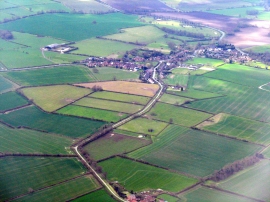
Rempstone from the air
Fingerpost, Wysall Road
Rempstone from the air
Location and coordinates are for the approximate centre of Rempstone Hill within this administrative area. Geographic features and populated places may cross administrative borders.