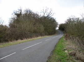
Red Wood, Cambridgeshire

« Gazetteer Entry
Upload Photo

Red Wood, Cambridgeshire

  • Parish/Community: Ellington
  • District/Borough: Huntingdonshire
  • County: Cambridgeshire
  • Region: Eastern
  • Category: Landcover
  • Type: Forest or Wood
  • Latitude/Longitude: 52°19'8"N 0°17'14"W
  • Eastings/Northings: 516830, 270380
  • OS Grid: TL168703
  • Mapcode Local: GBR H1F.D6K
  • Mapcode Global: VHGLT.YZX1

Location and coordinates are for the approximate centre of Red Wood within this administrative area. Geographic features and populated places may cross administrative borders.

BritishPlaceNames.uk is a Good Stuff website.