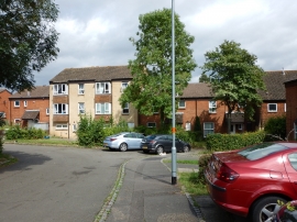
Rectory Farm, Northamptonshire

« Gazetteer Entry
Upload Photo

Rectory Farm, Northamptonshire

  • Built-Up Area: Northampton
  • Parish/Community: Northampton, unparished area
  • District/Borough: Northampton
  • County: Northamptonshire
  • Region: East Midlands
  • Category: Populated Place
  • Type: Suburban Area
  • Latitude/Longitude: 52°16'9"N 0°48'27"W
  • Eastings/Northings: 481462, 264131
  • OS Grid: SP814641
  • Mapcode Local: GBR CXB.LND
  • Mapcode Global: VHDS0.Y7D5

Location and coordinates are for the approximate centre of Rectory Farm within this administrative area. Geographic features and populated places may cross administrative borders.

BritishPlaceNames.uk is a Good Stuff website.