-
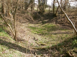
Bowl-shaped hollow in Hodgemoor Woods
-
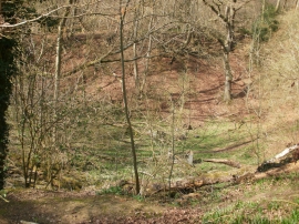
Another bowl-shaped hollow in Hodgemoor Woods
Bowl-shaped hollow in Hodgemoor Woods
Another bowl-shaped hollow in Hodgemoor Woods
Location and coordinates are for the approximate centre of Rawlings Dell within this administrative area. Geographic features and populated places may cross administrative borders.