-
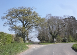
Meeting of four lanes
-
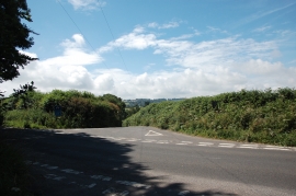
Lane to Higher Chillington
Meeting of four lanes
Lane to Higher Chillington
Location and coordinates are for the approximate centre of Ratlett's Clumps within this administrative area. Geographic features and populated places may cross administrative borders.