-
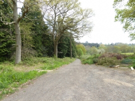
Footpath reaches woodland south of Worth School
-
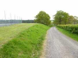
Footpath goes south from tennis courts
Footpath reaches woodland south of Worth School
Footpath goes south from tennis courts
Location and coordinates are for the approximate centre of Rat Island Pond within this administrative area. Geographic features and populated places may cross administrative borders.