-
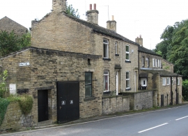
Rastrick - houses on Jumble Dyke
-
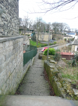
Path from Crowtrees Lane to Jumble Dyke, Rastrick
Rastrick - houses on Jumble Dyke
Path from Crowtrees Lane to Jumble Dyke, Rastrick
Location and coordinates are for the approximate centre of Rastrick within this administrative area. Geographic features and populated places may cross administrative borders.