-
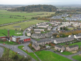
Raploch, and Castle Business Park
-
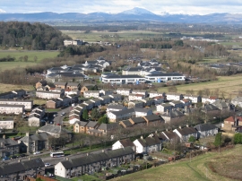
Looking northwest from Stirling Castle
Raploch, and Castle Business Park
Looking northwest from Stirling Castle
Location and coordinates are for the approximate centre of Raploch within this administrative area. Geographic features and populated places may cross administrative borders.