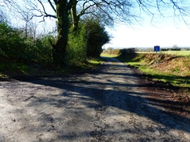
Rapley's Copse, Hampshire

« Gazetteer Entry
Upload Photo

Rapley's Copse, Hampshire

  • Parish/Community: Froxfield and Privett
  • District/Borough: East Hampshire
  • County: Hampshire
  • Region: South East
  • Category: Landcover
  • Type: Forest or Wood
  • Latitude/Longitude: 51°1'45"N 0°59'25"W
  • Eastings/Northings: 470905, 126037
  • OS Grid: SU709260
  • Mapcode Local: GBR B9J.GF6
  • Mapcode Global: FRA 86TD.G03

Location and coordinates are for the approximate centre of Rapley's Copse within this administrative area. Geographic features and populated places may cross administrative borders.

BritishPlaceNames.uk is a Good Stuff website.