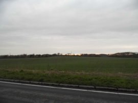
Rangley's Spinney, Central Bedfordshire

« Gazetteer Entry
Upload Photo

Rangley's Spinney, Central Bedfordshire

  • Built-Up Area: Streatley
  • Parish/Community: Streatley
  • Unitary Authority: Central Bedfordshire
  • Region: Eastern
  • Category: Landcover
  • Type: Forest or Wood
  • Latitude/Longitude: 51°56'48"N 0°27'13"W
  • Eastings/Northings: 506371, 228701
  • OS Grid: TL063287
  • Mapcode Local: GBR G4B.S4N
  • Mapcode Global: VHFR7.2BYH

Location and coordinates are for the approximate centre of Rangley's Spinney within this administrative area. Geographic features and populated places may cross administrative borders.

BritishPlaceNames.uk is a Good Stuff website.