-

Stile by Haye Cottage
-
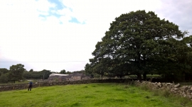
Approaching Edgewells Farm
Stile by Haye Cottage
Approaching Edgewells Farm
Location and coordinates are for the approximate centre of Ramshorn Common within this administrative area. Geographic features and populated places may cross administrative borders.