-
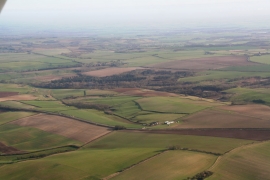
Looking across the A158 and Highfield farm to Snipes Dales Country Park: aerial 2014
-
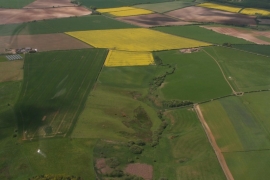
Valley north of Snipes Dales
Looking across the A158 and Highfield farm to Snipes Dales Country Park: aerial 2014
Valley north of Snipes Dales
Location and coordinates are for the approximate centre of Ramshaw Plantation within this administrative area. Geographic features and populated places may cross administrative borders.