-

Slithers on St Ninian's Isle
-
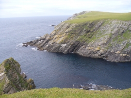
Near Selchie Geo
Slithers on St Ninian's Isle
Near Selchie Geo
Location and coordinates are for the approximate centre of Rams Geos within this administrative area. Geographic features and populated places may cross administrative borders.