-
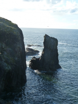
Butt of Lewis - Ramraga sea stack
-
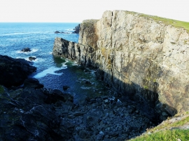
Butt of Lewis - Rectangular notch
Butt of Lewis - Ramraga sea stack
Butt of Lewis - Rectangular notch
Location and coordinates are for the approximate centre of Ramraga within this administrative area. Geographic features and populated places may cross administrative borders.