-
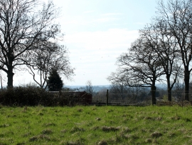
2011 : Rough grazing at the top of Ram Hill
-
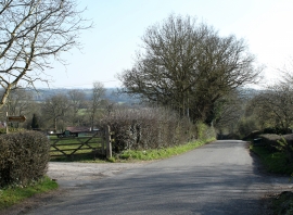
2011 : Looking down Ram Hill
2011 : Rough grazing at the top of Ram Hill
2011 : Looking down Ram Hill
Other current and historical names
Location and coordinates are for the approximate centre of Ram Hill within this administrative area. Geographic features and populated places may cross administrative borders.