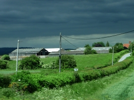
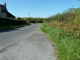
Rackham Grove, West Sussex

« Gazetteer Entry
Upload Photo

Rackham Grove, West Sussex

  • Parish/Community: Parham
  • District/Borough: Horsham
  • County: West Sussex
  • Region: South East
  • Category: Landcover
  • Type: Forest or Wood
  • Latitude/Longitude: 50°54'41"N 0°30'14"W
  • Eastings/Northings: 505278, 113501
  • OS Grid: TQ052135
  • Mapcode Local: GBR GJT.Z92
  • Mapcode Global: FRA 96TP.RHS

Location and coordinates are for the approximate centre of Rackham Grove within this administrative area. Geographic features and populated places may cross administrative borders.

BritishPlaceNames.uk is a Good Stuff website.