-
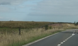
Lay-by for eastbound traffic on A361 on Rackenford Moor
-

The source of the Little Dart River on Rackenford Moor
Lay-by for eastbound traffic on A361 on Rackenford Moor
The source of the Little Dart River on Rackenford Moor
Location and coordinates are for the approximate centre of Rackenford Moor within this administrative area. Geographic features and populated places may cross administrative borders.