-
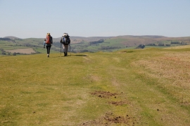
A pair of walkers on Hergest Ridge
-
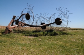
Vicon Acrobat on Hergest Ridge
A pair of walkers on Hergest Ridge
Vicon Acrobat on Hergest Ridge
Location and coordinates are for the approximate centre of Rabber Dingle within this administrative area. Geographic features and populated places may cross administrative borders.