-
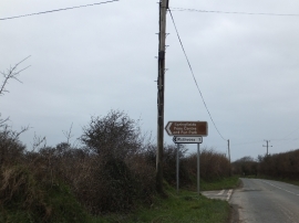
Junction for Quoit Farm and Ruthvoes
-
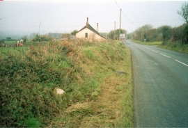
Old Milestone
Junction for Quoit Farm and Ruthvoes
Old Milestone
Location and coordinates are for the approximate centre of Quoit within this administrative area. Geographic features and populated places may cross administrative borders.