-

Stable Block for The Grange
-
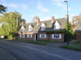
Oak Cottage, Main Street, Queniborough
Stable Block for The Grange
Oak Cottage, Main Street, Queniborough
Other current and historical names
Location and coordinates are for the approximate centre of Queniborough within this administrative area. Geographic features and populated places may cross administrative borders.