-
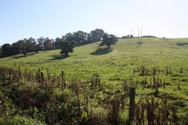
Pasture and power lines
-
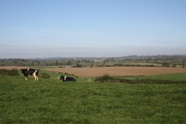
On the top of Queenhill
Pasture and power lines
On the top of Queenhill
Location and coordinates are for the approximate centre of Queenhill Rough within this administrative area. Geographic features and populated places may cross administrative borders.