-
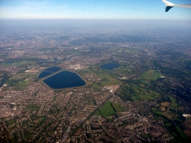
Walton on Thames from the Air
-
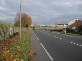
Molesey Road
Walton on Thames from the Air
Molesey Road
Location and coordinates are for the approximate centre of Queen Elizabeth II Storage Reservoir within this administrative area. Geographic features and populated places may cross administrative borders.