-
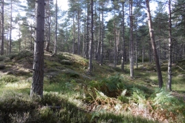
Contour detail, Cambus o' May
-
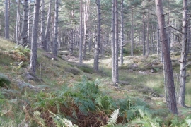
Reentrant, Cambus o' May
Contour detail, Cambus o' May
Reentrant, Cambus o' May
Location and coordinates are for the approximate centre of Queel Burn within this administrative area. Geographic features and populated places may cross administrative borders.