-
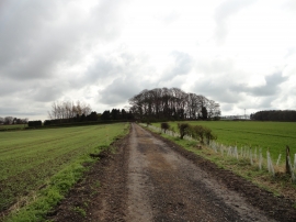
Path to Hetton le Hill
-

Road into Hetton Le Hill from the B1285
Path to Hetton le Hill
Road into Hetton Le Hill from the B1285
Location and coordinates are for the approximate centre of Quarryhouse Wood within this administrative area. Geographic features and populated places may cross administrative borders.