-

Muddy start to the path to Berry Castle
-
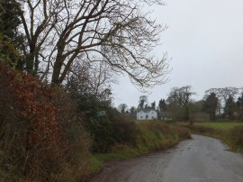
Approaching Tree from the south
Muddy start to the path to Berry Castle
Approaching Tree from the south
Location and coordinates are for the approximate centre of Quarryhill Copse within this administrative area. Geographic features and populated places may cross administrative borders.