-
Yealm Estuary: from an old quay
-

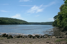
Nearing an old quay, Yealm estuary
Yealm Estuary: from an old quay
Nearing an old quay, Yealm estuary
Location and coordinates are for the approximate centre of Quarry Plantation within this administrative area. Geographic features and populated places may cross administrative borders.