-
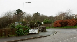
Junction, Torpoint
-
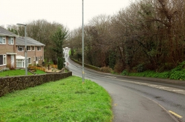
Trevol Road, Torpoint
Junction, Torpoint
Trevol Road, Torpoint
Location and coordinates are for the approximate centre of Quarry Park Bottom within this administrative area. Geographic features and populated places may cross administrative borders.