-
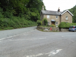
Cottage on a road junction
-
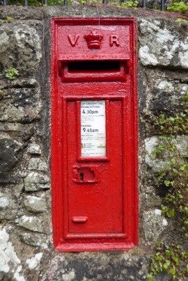
Victoria Letterbox
Cottage on a road junction
Victoria Letterbox
Location and coordinates are for the approximate centre of Quarry Grove within this administrative area. Geographic features and populated places may cross administrative borders.