-

A15 by passing Sleaford
-
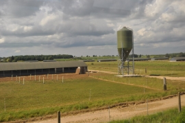
Boiling Wells Farm
A15 by passing Sleaford
Boiling Wells Farm
Location and coordinates are for the approximate centre of Quarrington Fen within this administrative area. Geographic features and populated places may cross administrative borders.