-
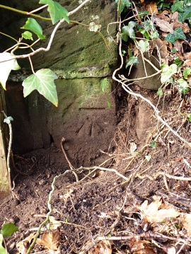
OS benchmark - Puleston, farm building
-
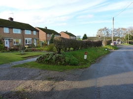
On the north side of Puleston
OS benchmark - Puleston, farm building
On the north side of Puleston
Location and coordinates are for the approximate centre of Puleston within this administrative area. Geographic features and populated places may cross administrative borders.