-

Framingham Earl, looking towards Primrose Grove woods
-
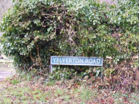
Yelverton Road sign
Framingham Earl, looking towards Primrose Grove woods
Yelverton Road sign
Location and coordinates are for the approximate centre of Primrose Grove within this administrative area. Geographic features and populated places may cross administrative borders.