Poulter's Plantation is a forest or wood in North Yorkshire
Parish/Community: Allerton Mauleverer with Hopperton
District/Borough: Harrogate
County: North Yorkshire
Region: Yorkshire and the Humber
Category: Landcover
Type: Forest or Wood
Latitude/Longitude: 53°59'49"N 1°21'34"W
Eastings/Northings: 442080, 455854
OS Grid: SE420558
Mapcode Local: GBR LQY6.FY
Mapcode Global: WHD9N.2SVP
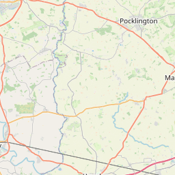
Location and coordinates are for the approximate centre of Poulter's Plantation within this administrative area.
Geographic features and populated places may cross administrative borders.