-
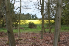
Elvetham, Hampshire
-
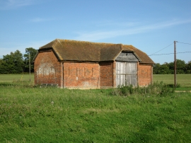
Barn with slit windows
Elvetham, Hampshire
Barn with slit windows
Location and coordinates are for the approximate centre of Ponthill Plantation within this administrative area. Geographic features and populated places may cross administrative borders.