-
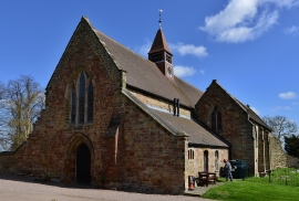
Merevale: Church of Our Lady
-
Merevale: Church of Our Lady
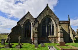
Merevale: Church of Our Lady
Merevale: Church of Our Lady
Location and coordinates are for the approximate centre of Plumtree Spinney within this administrative area. Geographic features and populated places may cross administrative borders.