-
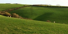
Valley west of Barton Head
-
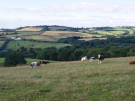
Pasture land, near South Lendon
Valley west of Barton Head
Pasture land, near South Lendon
Location and coordinates are for the approximate centre of Pitt Plantation within this administrative area. Geographic features and populated places may cross administrative borders.