-
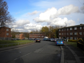
The Barley Lea, Stoke Aldermoor
-
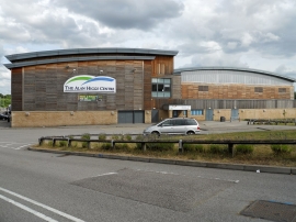
Coventry-The Alan Higgs Sports Centre
The Barley Lea, Stoke Aldermoor
Coventry-The Alan Higgs Sports Centre
Other current and historical names
Location and coordinates are for the approximate centre of Pinley Gardens within this administrative area. Geographic features and populated places may cross administrative borders.