-
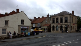
Pickering. The corner of Park St and Market Place
-
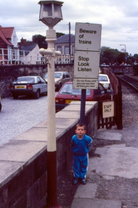
Pickering - 1989
Pickering. The corner of Park St and Market Place
Pickering - 1989
Location and coordinates are for the approximate centre of Pickering within this administrative area. Geographic features and populated places may cross administrative borders.