-
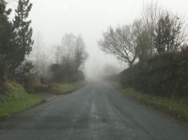
Stonygate Lane on a misty morning
-
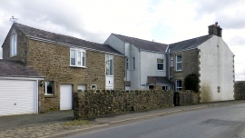
Cherry Yate
Stonygate Lane on a misty morning
Cherry Yate
Location and coordinates are for the approximate centre of Phillip's Wood within this administrative area. Geographic features and populated places may cross administrative borders.