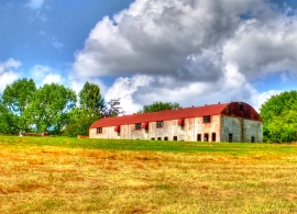
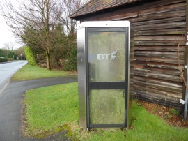
Pednor Bottom, Buckinghamshire

« Gazetteer Entry
Upload Photo

Pednor Bottom, Buckinghamshire

Other current and historical names

  • Chartridge
  • Built-Up Area: Chesham
  • Parish/Community: Chartridge
  • District/Borough: Chiltern
  • County: Buckinghamshire
  • Region: South East
  • Category: Populated Place
  • Type: Other Settlement
  • Latitude/Longitude: 51°43'20"N 0°38'52"W
  • Eastings/Northings: 493500, 203500
  • OS Grid: SP935035
  • Mapcode Local: GBR F5F.YX5
  • Mapcode Global: VHFS2.QYDY

Location and coordinates are for the approximate centre of Pednor Bottom within this administrative area. Geographic features and populated places may cross administrative borders.

BritishPlaceNames.uk is a Good Stuff website.