-

The A39 heading towards Barnstaple near Barnacott
-
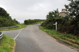
A road junction near Treyhill Cottages
The A39 heading towards Barnstaple near Barnacott
A road junction near Treyhill Cottages
Location and coordinates are for the approximate centre of Pearce's Copse within this administrative area. Geographic features and populated places may cross administrative borders.