-
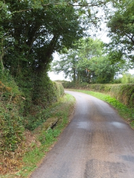
Ford in Spain Lane
-
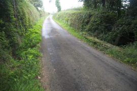
Ford at Farringdon
Ford in Spain Lane
Ford at Farringdon
Location and coordinates are for the approximate centre of Parsonage Copse within this administrative area. Geographic features and populated places may cross administrative borders.