-
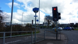
Kilbowie Roundabout
-
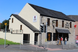
The Village Tavern, Dumbarton Road, Duntocher
Kilbowie Roundabout
The Village Tavern, Dumbarton Road, Duntocher
Location and coordinates are for the approximate centre of Parkhall within this administrative area. Geographic features and populated places may cross administrative borders.